The summer of 2026 will be remembered as one of the most intense in terms of climate since meteorological records began. In just under two months, France has already experienced three distinct heatwaves, a rhythm that several meteorologists describe as unprecedented in the country's recent history.
Three Close Succession Waves
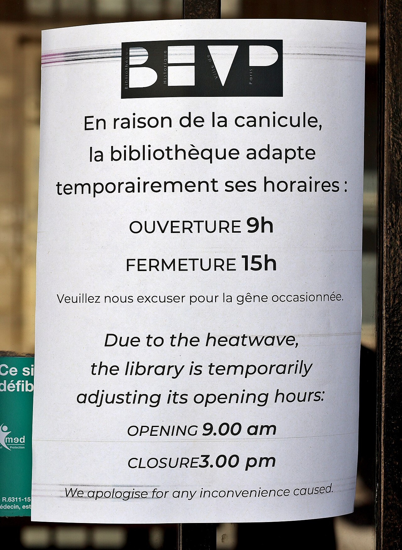
The first heatwave occurred from May 21 to 30, followed by a second between June 17 and July 2. The third, which began in early July simultaneously in Portugal and Spain, then extended to France, placing all of Île-de-France under red alert from July 11. This alert was maintained for several consecutive days, with temperatures rising again just as Bastille Day celebrations were underway, forcing authorities to adapt certain transport and security measures in the capital.
Exceptional Peak Between July 8 and 14
According to specialists at Météo-France, this third wave reached its peak between July 8 and 14, with deviations from the seasonal norm reaching +7 to +10°C locally over large parts of the territory, making France one of the most intense heat hotspots in Europe, if not the world, during this period. The symbolic threshold of 40°C was reportedly reached or approached in several regions, with particularly stifling nights failing to drop below 20°C, preventing the body from recovering and increasing health risks.
Fontainebleau Ablaze
This prolonged heat had concrete consequences. In particular, a fire broke out in the forest of Fontainebleau, leading to the prolonged closure of the A6 highway and mobilizing significant resources for fighting forest fires. Earlier in the season, two other fires had already occurred in Lot-et-Garonne, ravaging several dozen hectares before being brought under control. These episodes, combined with a precipitation deficit observed over a large part of the territory, contributed to a particularly early start to the fire season in France, as well as in Spain and Portugal.
Official End vs. Felt End
Météo-France also distinguishes between two often confused notions: the official end of a heatwave, calculated based on a national average that must drop below certain thresholds, and the end actually felt by the population, which usually occurs when maximum temperatures durably fall below 30°C and nights below 20°C for several consecutive days. This discrepancy explains some of the controversies observed during previous episodes, when institutional announcements of the heatwave's end may have seemed disconnected from the actual experience.
A Fourth Wave Already in Preparation
While some respite is expected by the end of the week, brought by a cold drop introducing more oceanic air over a large part of the country, the most recent models already suggest the beginnings of a fourth heatwave for the very end of July. The two main international forecast models, European and American, converge: the meteorological ingredients that caused the previous three episodes—an anticyclone over the British Isles, a depression over the Iberian Peninsula—are expected to remain largely in place in the coming weeks, with no signs of large-scale structural change.
Editorial Take
This unprecedented succession of heatwave episodes increasingly raises questions for French society about its capacity to adapt to unstable summer weather. Between managing fire risks, adapting work rhythms in certain exposed sectors, and reinforcing health vigilance for the most vulnerable populations, summer 2026 confirms an already observed trend: the multiplication of extreme heat events is now an structural reality that France must learn to live with, season after season.
Key Takeaways
- 3 heatwaves in ~50 days: an unprecedented pace in modern records.
- May 21–30, June 17–July 2, early July: the three successive waves.
- Red alert Île-de-France from July 11, maintained until July 14.
- +7 to +10°C above seasonal normal at the peak of the wave.
- A fourth heatwave already anticipated for the end of July.